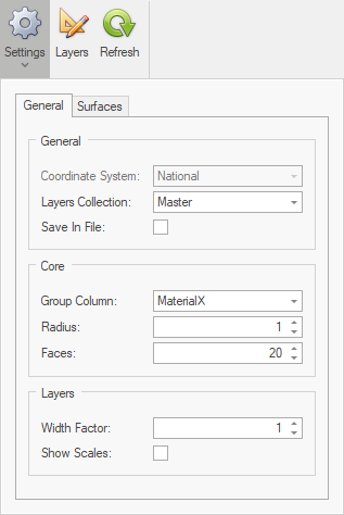
The General tab has three areas; General, Core, and Layers.
These settings control important aspects of what and how data is presented.
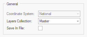
•Coordinate System - this value is set during model setup and cannot be changed. •Layers Collection - sets the Layer Template Collection (Master or Project). Master templates are available across multiple projects, while Project templates are only available in the current project. •Exclude From File - when this option is selected, database layers are not saved in the model file. When the model is opened the database layers are automatically refreshed. Using this option makes files smaller and faster to transfer over slow networks, although it is not possible to retain versions of database data. |
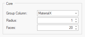
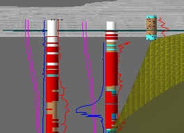
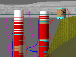
•Group - defines which column in the Geology table is used to group the core (geological sticks) into layers. The user can select from Lithology, Material, MaterialX, or MaterialXX. This selection also defines the column to assign materials to when performing Material Assignments. •Radius - defines the radius of the core (geological sticks) in drawing units. Use up and down arrow next to value to change number.
Radius=1
|
Radius=2
|
|
|
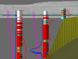
•Faces - this setting defines the number of faces the core (geological sticks) is drawn with. The larger the number the smoother the cylinder. The minimum number of faces is 4. For very large models, reducing the number of faces will improve rendering speed and reduce file size.
Faces=20
|
Faces=4
|

|
|
|

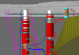
•Width Factor - provides a single setting to scale database generated objects horizontally, excluding the core (see above).
Width Factor=1
|
Width Factor=2
|

|
|
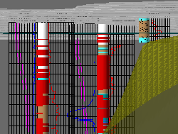
•Show Scales - when this option is selected, scale objects are created when defined on layer templates.
Show Scales=false
|
Show Scales=true
|

|
|
|

