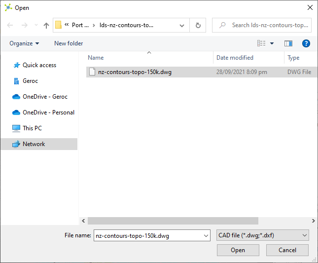
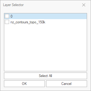
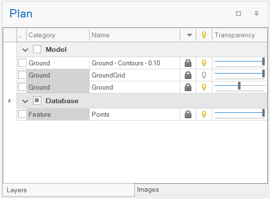
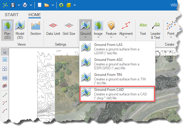
The Ground From CAD option converts data from selected layers in a *.dwg/*.dxf file into a triangulated surface that is added to the Ground layer.
|
|
<< Click to Display Table of Contents >> Navigation: Visualization Module > Modelling > Creating a ground surface > Ground from CAD |
The Ground From CAD option converts data from selected layers in a *.dwg/*.dxf file into a triangulated surface that is added to the Ground layer.
|