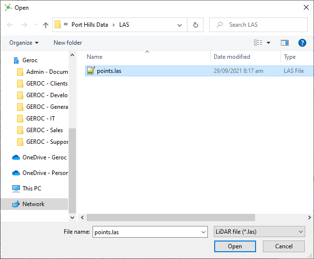
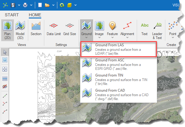
The Ground From LAS option automatically converts data from a LASer (*.las) file into a triangulated surface that is added to the Ground layer.
|
|
<< Click to Display Table of Contents >> Navigation: Visualization Module > Modelling > Creating a ground surface > Ground from LAS |
The Ground From LAS option automatically converts data from a LASer (*.las) file into a triangulated surface that is added to the Ground layer.
|