|
Requires CORE-GS | Professional. |
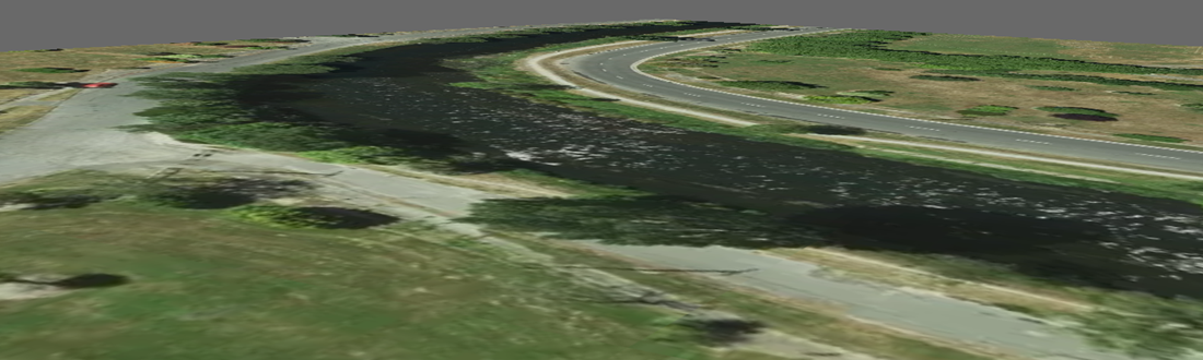
Images can be draped over the Ground surface to provide additional context to 3D models.
Below is an example of a georeferenced image positioned in a model as a planar object:
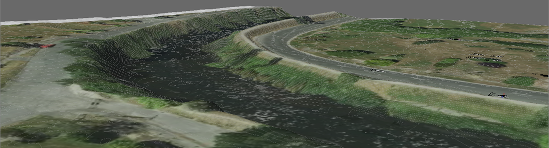
And the same image draped over the Ground surface with partially transparent contour lines:
These topics provide additional detail regarding working with drape images:
•Creating a drape image - illustrates the process of creating an image that can be draped over the Ground surface.
•Scaling draped images - shows the steps to scale a drape image to match known locations.
•Show / hide drape images - once setup, drape images can be easily shown and hidden.