Type
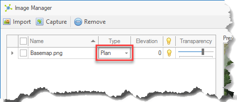
Type indicates the method used to draw the image; Plan or Section.
Plan type images are shown in a horizontal plane, while Section type images are shown in a vertical plane.
Origin
The origin is a point where the image is placed with X and Y values defined in the same coordinate system as the model.
The position of the origin changes based on the type selected:
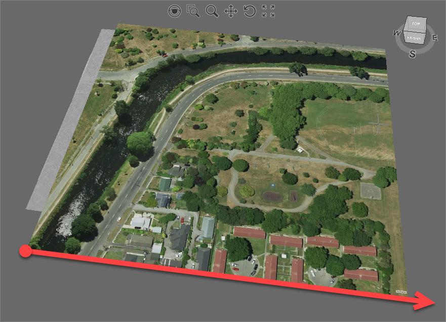
•Plan Type - the origin is the bottom-left corner, this is normal for georeferenced images.
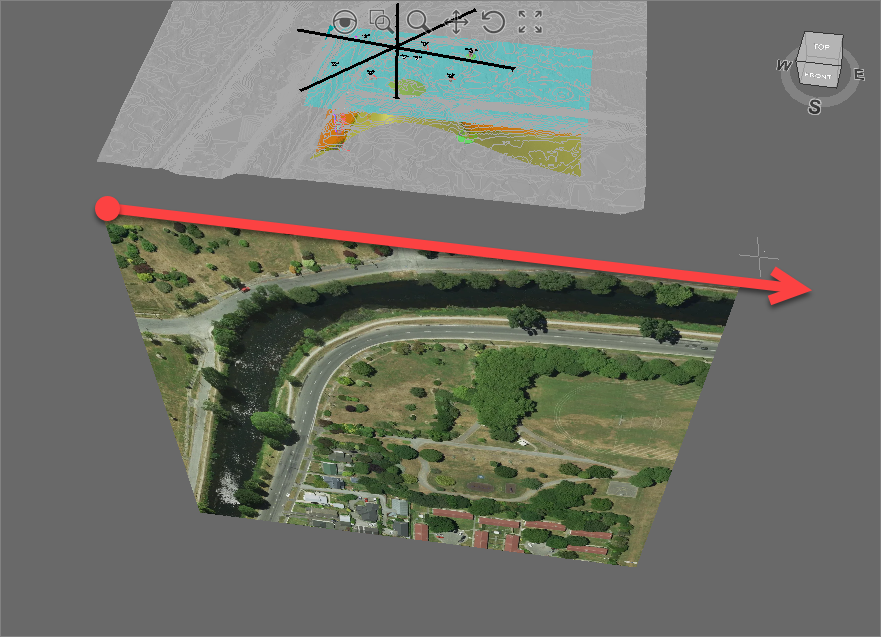
•Section Type - the origin is the top-left corner (typically a ground reference).
Size

Simply these values are the images width and height (in model units) that are used to scale the image.
For Plan type images, width is the measurement in the X-direction with height being the measurement in the Y-direction.
Orientation
The orientation defines the direction that the image is drawn from the origin.

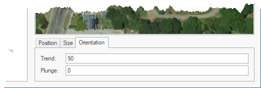
The orientation is a vector defined by its trend (angle in the horizontal) and plunge (angle from the horizontal).
Plan type images are typically defined in a regular grid pattern, requiring no change to the default orientation vector:

Changing the same image to Section type, using the same orientation vector, changes the Origin point to the top-left corner:


