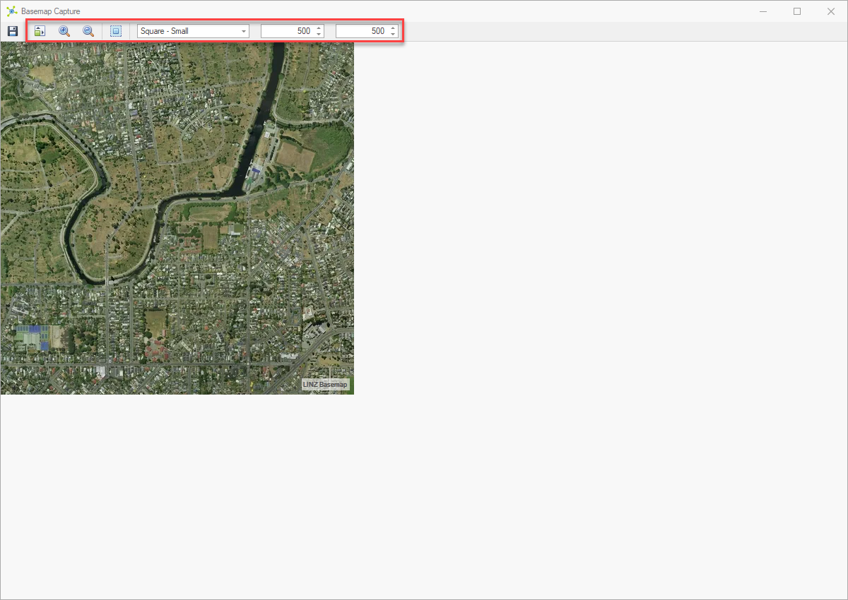
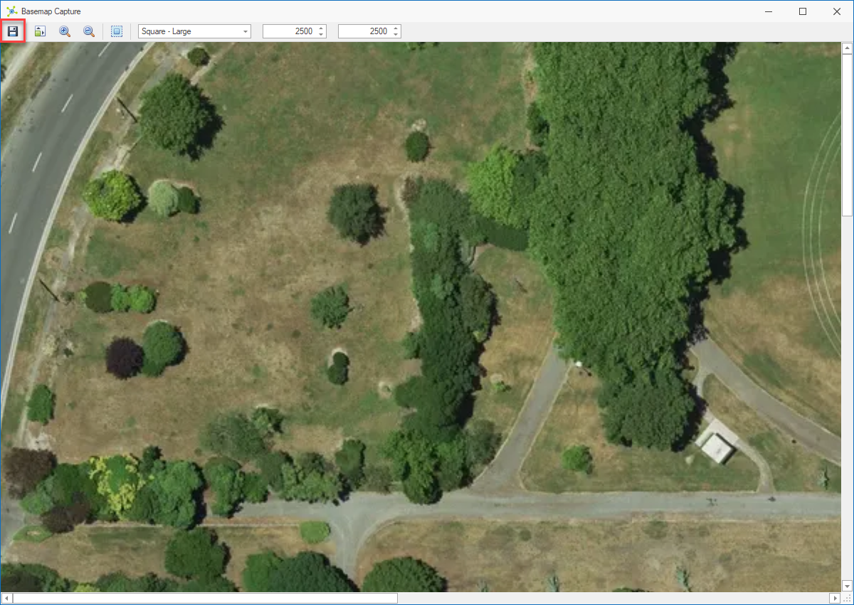
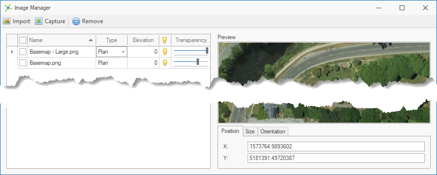
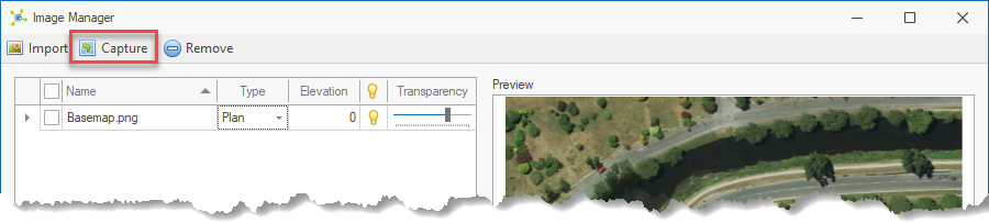
The Capture button allows the user to create georeferenced images that are added to a model.
|
|
<< Click to Display Table of Contents >> Navigation: Visualization Module > Modelling > Working with images > Image setup > Capture map control images |
The Capture button allows the user to create georeferenced images that are added to a model.
|