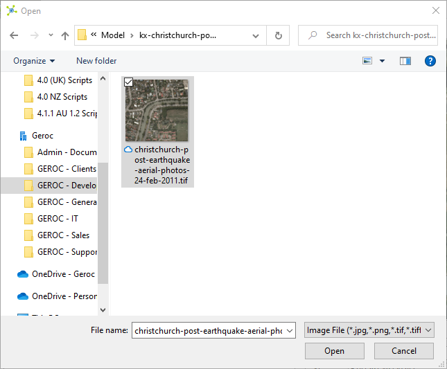
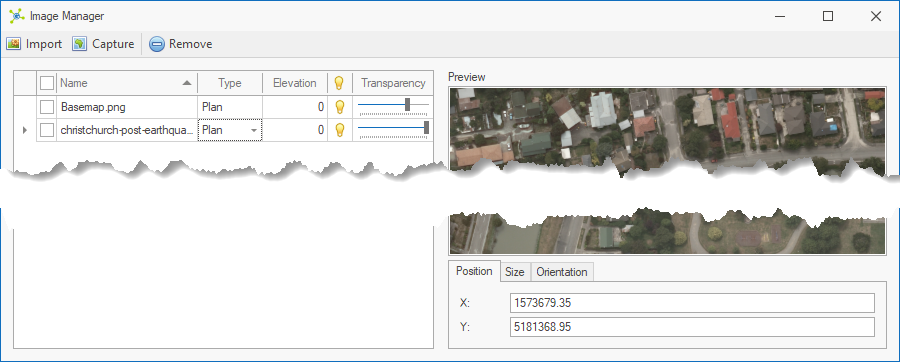
The Import button initiates the import of georeferenced images into the model.

|
|
<< Click to Display Table of Contents >> Navigation: Visualization Module > Modelling > Working with images > Image setup > Import georeferenced images |
The Import button initiates the import of georeferenced images into the model.
|