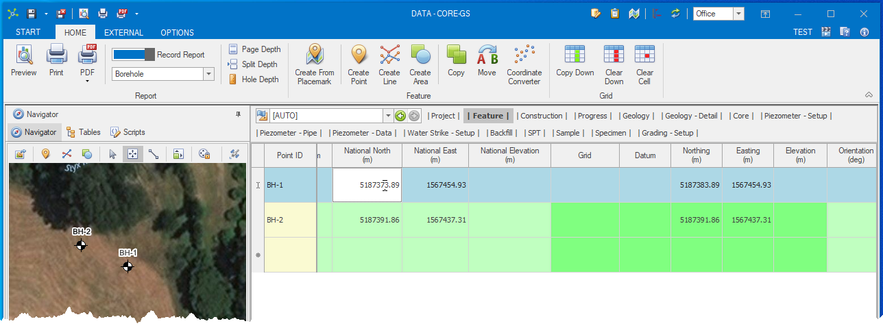
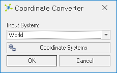
The Coordinate Converter is used to convert data from one coordinate system to another.

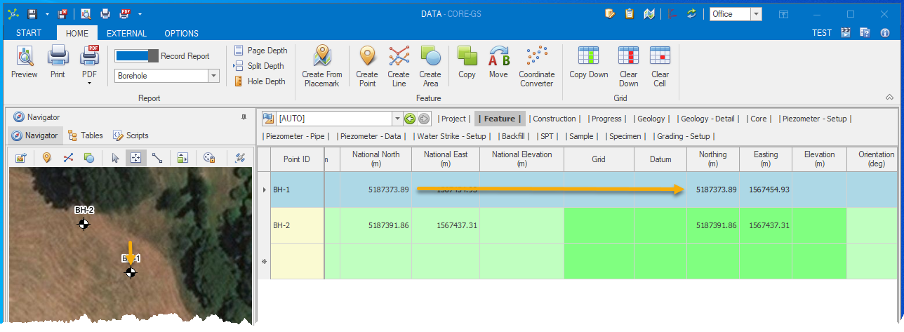
Changes to a data grid column associated to either the world, national or local coordinate systems will automatically trigger the recalculation of data in the remaining coordinate systems, including the system coordinate used by the feature map.


Likewise, moving a point feature in the feature map will automatically update the world, national or local coordinate systems.
Three coordinate systems that can be defined for each project:
•World (Latitude & Longitude column) – defines a latitude / longitude position with these columns allowing string data (i.e. 54°25'35"), however the Coordinate Converter can only process data that can be cast to decimal format.
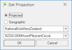
•National (National East & National North columns) – defines a national grid (i.e. NZTM2000) for the project.
•Local (East & North columns) – defines a local grid (i.e. Nelson 2000) that is specific to each project.
A fourth coordinate system is maintained internally (WGS84 latitude / longitude format) and is used by the feature map.
 How To: Set coordinate systems after project creation
|
 How To: Convert all coordinate data in a project
|


