The data limit defines:
•the area within which point data are selected
•the horizontal extent of grid surface generation
•the model translation to ensure smooth rendering

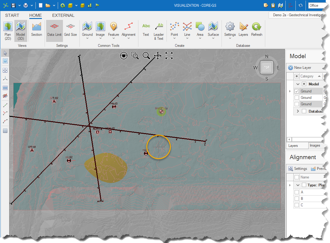
To view the current data limit (shown as a transparent red rectangle) click the button on the ribbon:
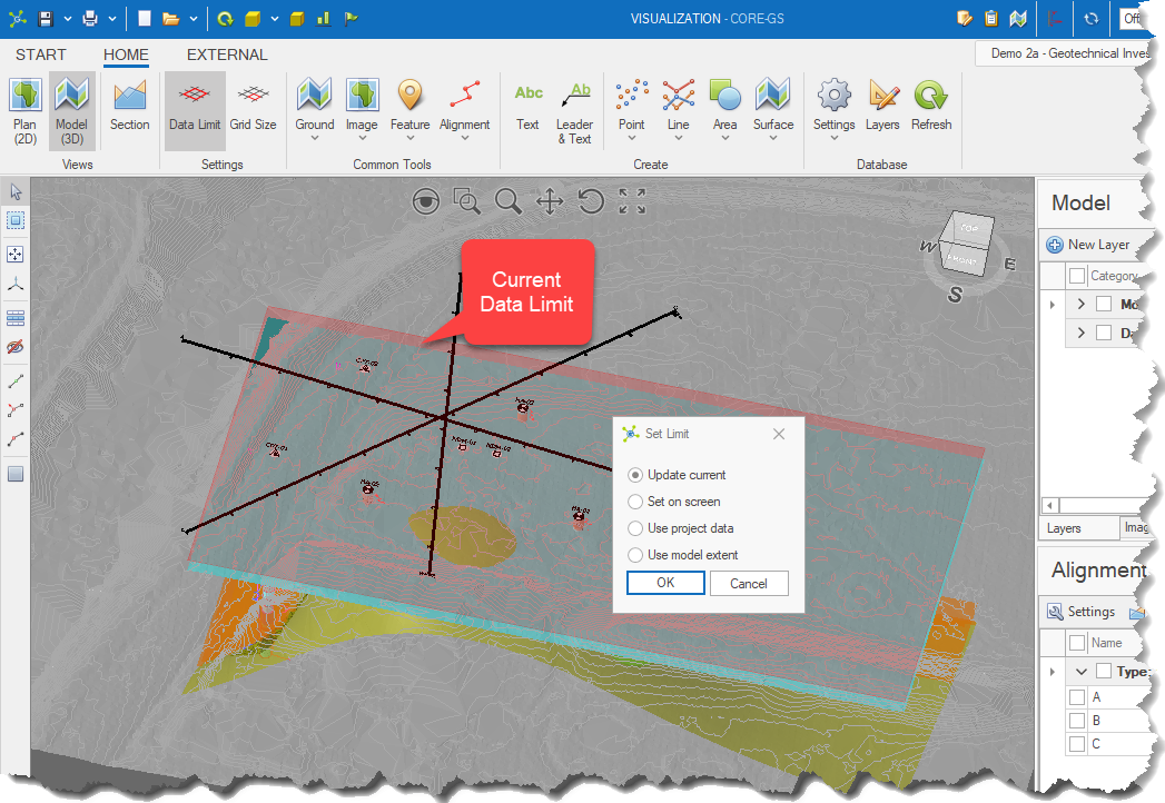
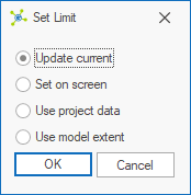
•Update Current - allows the user to view and manually edit the minimum and maximum values. •Set On Screen - allows the user to select a point in a model and then manually edit the minimum and maximum values. •Project Data - gets the minimum and maximum values from the POINT table using the models existing coordinate set. Use this option when new data locations have been added to the project. •Model Extent - determines the minimum and maximum values from the current model. Use this when you've imported data from an external file and nothing exists in the database yet.
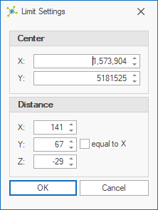
Update Current:Shows the limit settings dialog allowing the user to manually change values. Changes are reflected in the transparent red rectangle indicating the data limit.
The user clicks a point in the model to define the center of the limit:
Then shows the limit settings dialog allowing the user to manually change values:
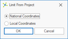
Changes are reflected in the transparent red rectangle indicating the data limit. Shows the limit from project dialog where the user can select either the National Coordinates (i.e. National North, National East and National Elevation) or Local Coordinates (i.e. North, East and Elevation).
Use Model Extent:
|
